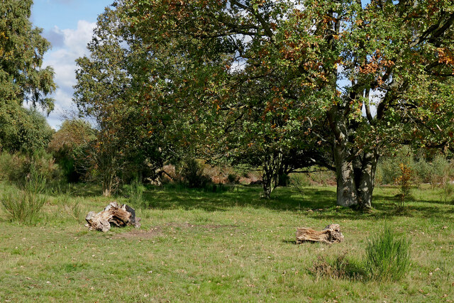
SO8074 : Grassy woodland in Devil's Spittleful Nature Reserve, Worcestershire
taken 4 years ago, near to Bewdley, Worcestershire, England
Adjacent to the West Midland Safari Park at Bewdley, and to the south-east, are these two continuous nature reserves, maintained by the Worcestershire Wildlife Trust and Wyre Forest District Council respectively.
The area contains a combination of lowland heath, grassland, scrub and some woodland. Three adjacent fields acquired from Blackstone Farm in 2007 are gradually being restored to heath status. Some public footpaths and bridleways do cross the reserves, but there are many more tracks open for exploration.
The Devil's Spittleful is a rocky sandstone knoll with a cave, and several mature Scots Pine trees.
Onsite information boards explain that it is one of the few areas of heathland remaining in Worcestershire and is at least 2500 years old. First created when man cleared the woodland cover, at its peak it is likely that a swathe of heathland stretched across north Worcestershire. Since then, agricultural expansion and building have reduced it to a few fragments.
The Rifle Range Nature Reserve has an area of approximately 43 hectares (106 acres) and is classed as a Site of Special Scientific Interest (SSSI) for its high quality lowland heath habitat, with some woodland. The area was used as a firing range during the 19th century. Remains of this can still be found in the form of concrete tracks, trenches (firing butts) and an old ammunition store. The reserve is maintained seamlessly with the adjacent Devil's Spittleful Nature Reserve.
 Map © Crown Copyright")
- Grid Square
- SO8074, 368 images (more nearby 🔍)
- Photographer
- Roger D Kidd (more nearby)
- Date Taken
- Thursday, 15 October, 2020 (more nearby)
- Submitted
- Tuesday, 20 October, 2020
- Subject Location
-
OSGB36:
 SO 8021 7479 [10m precision]
WGS84: 52:22.2477N 2:17.5257W - Camera Location
-
OSGB36: SO 8019 7476
- View Direction
- North-northeast (about 22 degrees)