2020
SS9390 : View across Ogmore Vale
taken 3 years ago, near to Ogmore Vale, Bridgend/Pen-y-Bont ar Ogwr, Wales
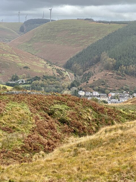
View across Ogmore Vale
The Ogmore valley runs from north to south. At the old mining community of Ogmore Vale tributaries from the west, Cwm Cyffog, and from the east, Cwm Nant y Fuwch, flow into the River Ogwr.
 Map © Crown Copyright")
TIP: Click the map for more Large scale mapping
- Grid Square
- SS9390, 178 images (more nearby 🔍)
- Photographer
- Alan Hughes (more nearby)
- Date Taken
- Tuesday, 20 October, 2020 (more nearby)
- Submitted
- Tuesday, 20 October, 2020
- Subject Location
-
OSGB36:
 SS 932 902 [100m precision]
WGS84: 51:36.0783N 3:32.5455W - Camera Location
-
OSGB36: SS 922 901
- View Direction
- EAST (about 90 degrees)