2008
ST4342 : Pylon in flooded fields
taken 16 years ago, near to Westhay, Somerset, England
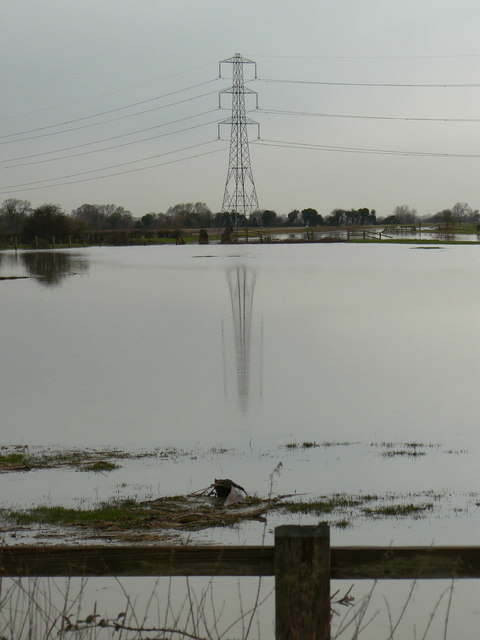
Pylon in flooded fields
The line of pylons is a prominent feature of this part of the Somerset Levels: they carry power from Hinckley Point nuclear power station. The River Brue is in flood after heavy rainfall.
 Map © Crown Copyright")
TIP: Click the map for more Large scale mapping
- Grid Square
- ST4342, 49 images (more nearby 🔍)
- Photographer
- Edwin Graham (more nearby)
- Date Taken
- Wednesday, 16 January, 2008 (more nearby)
- Submitted
- Tuesday, 22 January, 2008
- Subject Location
-
OSGB36:
 ST 431 428 [100m precision]
WGS84: 51:10.9223N 2:48.9009W - Camera Location
-
OSGB36: ST 437 426
- View Direction
- West-northwest (about 292 degrees)