2020
TL9728 : Tractors and Portaloos
taken 4 years ago, near to Great Horkesley, Essex, England
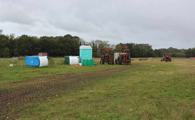
Tractors and Portaloos
Field just off the Essex Way dedicated to portaloos - both in the horizontal and vertical, with a smattering of tractors.
Essex Way
One of the first county long distance footpath devised, tracing its history back to 1971.
It was also the first to make an appearance within the county borders of Essex.
The 81 mile trail starts outside the underground station in Epping, passing through Chipping Ongar, Pleshey, White Notley, Coggeshall, Great Horkesley, Dedham and Manningtree to the High Lighthouse in Harwich. It runs through the entire county in a rough south west to north east line.
 Map © Crown Copyright")
TIP: Click the map for more Large scale mapping
- Grid Square
- TL9728, 10 images (more nearby 🔍)
- Photographer
- Chris Heaton (more nearby)
- Date Taken
- Thursday, 15 October, 2020 (more nearby)
- Submitted
- Friday, 23 October, 2020
- Subject Location
-
OSGB36:
 TL 9758 2881 [10m precision]
WGS84: 51:55.3644N 0:52.3143E - Camera Location
-
OSGB36: TL 9763 2878
- View Direction
- West-northwest (about 292 degrees)