2020
NT9724 : Path in the Harthope valley
taken 3 years ago, near to Middleton Hall, Northumberland, England
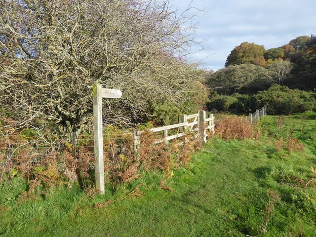
Path in the Harthope valley
The path crosses the Harthope Burn and runs along the south side of the Happy Valley.
 Map © Crown Copyright")
TIP: Click the map for more Large scale mapping
- Grid Square
- NT9724, 39 images (more nearby 🔍)
- Photographer
- Oliver Dixon (more nearby)
- Date Taken
- Friday, 23 October, 2020 (more nearby)
- Submitted
- Saturday, 24 October, 2020
- Subject Location
-
OSGB36:
 NT 9753 2490 [10m precision]
WGS84: 55:31.0708N 2:2.4404W - Camera Location
-
OSGB36: NT 97518 24930
- View Direction
- Southeast (about 135 degrees)