2019
SP2865 : Footpath to Packmore Street, Warwick
taken 4 years ago, near to Warwick, Warwickshire, England
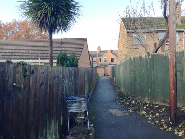
Footpath to Packmore Street, Warwick
Behind the camera is the broad path that runs on the north side of the railway, west from the station towards Priory Pools.
 Map © Crown Copyright")
TIP: Click the map for more Large scale mapping
- Grid Square
- SP2865, 922 images (more nearby 🔍)
- Photographer
- Robin Stott (more nearby)
- Date Taken
- Saturday, 30 November, 2019 (more nearby)
- Submitted
- Tuesday, 27 October, 2020
- Subject Location
-
OSGB36:
 SP 2857 6552 [10m precision]
WGS84: 52:17.2248N 1:34.9549W - Camera Location
-
OSGB36: SP 2857 6550
- View Direction
- NORTH (about 0 degrees)