2020
SZ3387 : School Green Road, Freshwater
taken 4 years ago, near to Totland, Isle of Wight, England
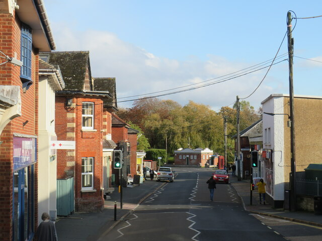
School Green Road, Freshwater
School Green Road in Freshwater on the Isle of Wight. This road is on the route of the A3055.
This photograph was taken on an October afternoon, as the shadows were getting longer.
This photograph was taken on an October afternoon, as the shadows were getting longer.
A3055 road
The A3055 runs 31 miles from Ryde to Totland on the Isle of Wight. It is the southern half of the Isle of Wight's 'Ring Road'. Since 2010, it has been cut in two following a collapsed section along the south coast, making access problematic.
Link
A3055 Road
The A3055 forms the Southern portion of the circular loop around the Isle of Wight; the northern section being the A3054 road. The stretch along the south-west coast of the Island is formed by The Isle of Wight Military Road Link .
 Map © Crown Copyright")
TIP: Click the map for more Large scale mapping
- Grid Square
- SZ3387, 33 images (more nearby 🔍)
- Photographer
- Malc McDonald (more nearby)
- Date Taken
- Tuesday, 13 October, 2020 (more nearby)
- Submitted
- Friday, 30 October, 2020
- Subject Location
-
OSGB36:
 SZ 336 870 [100m precision]
WGS84: 50:40.9499N 1:31.4870W - Camera Location
-
OSGB36: SZ 336 871
- View Direction
- East-southeast (about 112 degrees)