2020
NN2163 : Allt na h-Eilde and Blackwater pipeline
taken 4 years ago, 3 km from Kinlochmore, Highland, Scotland
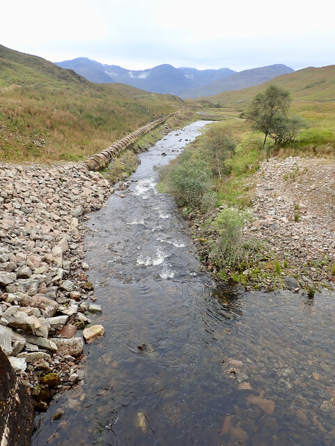
Allt na h-Eilde and Blackwater pipeline
 Map © Crown Copyright")
TIP: Click the map for more Large scale mapping
- Grid Square
- NN2163, 16 images (more nearby 🔍)
- Photographer
- Mick Garratt (more nearby)
- Date Taken
- Tuesday, 15 September, 2020 (more nearby)
- Submitted
- Saturday, 31 October, 2020
- Subject Location
-
OSGB36:
 NN 2173 6315 [10m precision]
WGS84: 56:43.5515N 4:54.9137W - Camera Location
-
OSGB36: NN 2175 6318
- View Direction
- South-southwest (about 202 degrees)