2020
NZ2065 : Path bifurcation on the former Montague Colliery
taken 3 years ago, 3 km from Blaydon, Gateshead, England
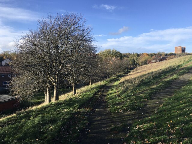
Path bifurcation on the former Montague Colliery
 Map © Crown Copyright")
TIP: Click the map for more Large scale mapping
- Grid Square
- NZ2065, 56 images (more nearby 🔍)
- Photographer
- Anthony Foster (more nearby)
- Date Taken
- Sunday, 25 October, 2020 (more nearby)
- Submitted
- Sunday, 1 November, 2020
- Subject Location
-
OSGB36:
 NZ 2025 6597 [10m precision]
WGS84: 54:59.2749N 1:41.1045W - Camera Location
-
OSGB36: NZ 2025 6597
- View Direction
- NORTH (about 0 degrees)