2020
SP3375 : Path to Mill Hill
taken 3 years ago, near to Baginton, Warwickshire, England
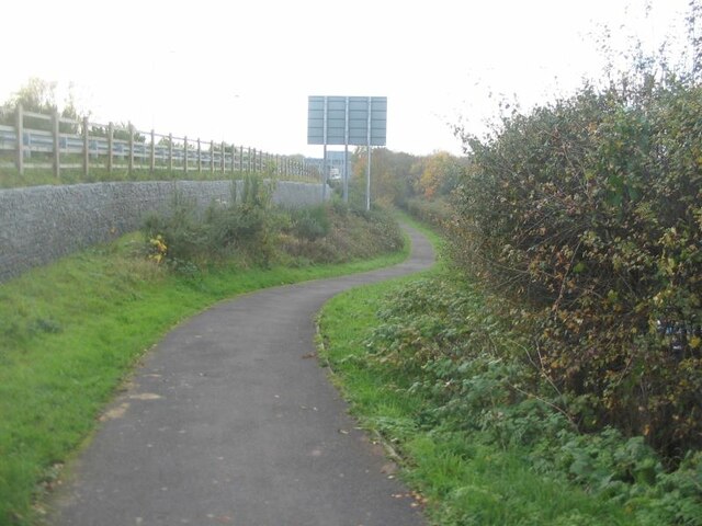
Path to Mill Hill
A cycle/pathway running alongside the A46 to the left.
 Map © Crown Copyright")
TIP: Click the map for more Large scale mapping
- Grid Square
- SP3375, 53 images (more nearby 🔍)
- Photographer
- E Gammie (more nearby)
- Date Taken
- Friday, 6 November, 2020 (more nearby)
- Submitted
- Saturday, 7 November, 2020
- Subject Location
-
OSGB36:
 SP 3385 7548 [10m precision]
WGS84: 52:22.5792N 1:30.2508W - Camera Location
-
OSGB36: SP 3392 7554
- View Direction
- Southwest (about 225 degrees)