2001
SH6257 : Craig Nant Peris on Esgair Felen
taken 23 years ago, 3 km from Nant Peris, Gwynedd, Wales
This is 1 of 3 images, with title starting with Craig Nant in this square
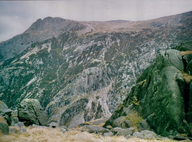
Craig Nant Peris on Esgair Felen
This image was taken from the Dinas Mot route to Cwm Glas.
 Map © Crown Copyright")
TIP: Click the map for more Large scale mapping
- Grid Square
- SH6257, 48 images (more nearby 🔍)
- Photographer
- Eric Jones (more nearby)
- Date Taken
- 2001 (more nearby)
- Submitted
- Friday, 13 November, 2020
- Subject Location
-
OSGB36:
 SH 6283 5739 [10m precision]
WGS84: 53:5.7620N 4:3.0005W - Camera Location
-
OSGB36: SH 6264 5614
- View Direction
- NORTH (about 0 degrees)