2020
SU5357 : Pastures, Kingsclere
taken 4 years ago, near to Hannington, Hampshire, England
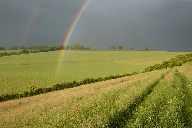
Pastures, Kingsclere
A view towards Plantation Hill from a footpath on the scarp of the downs.
 Map © Crown Copyright")
TIP: Click the map for more Large scale mapping
- Grid Square
- SU5357, 31 images (more nearby 🔍)
- Photographer
- Andrew Smith (more nearby)
- Date Taken
- Sunday, 28 June, 2020 (more nearby)
- Submitted
- Sunday, 15 November, 2020
- Subject Location
-
OSGB36:
 SU 537 570 [100m precision]
WGS84: 51:18.6129N 1:13.8235W - Camera Location
-
OSGB36: SU 535 571
- View Direction
- East-southeast (about 112 degrees)