2020
SU4252 : Farmland, St Mary Bourne
taken 4 years ago, near to Binley, Hampshire, England
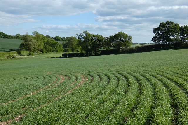
Farmland, St Mary Bourne
Cereal on the western flank of Wadwick Bottom.
 Map © Crown Copyright")
TIP: Click the map for more Large scale mapping
- Grid Square
- SU4252, 9 images (more nearby 🔍)
- Photographer
- Andrew Smith (more nearby)
- Date Taken
- Monday, 11 May, 2020 (more nearby)
- Submitted
- Sunday, 15 November, 2020
- Subject Location
-
OSGB36:
 SU 425 524 [100m precision]
WGS84: 51:16.1666N 1:23.5227W - Camera Location
-
OSGB36: SU 424 526
- View Direction
- South-southeast (about 157 degrees)