2020
SU3763 : Farmland, West Woodhay
taken 4 years ago, near to Upper Green, West Berkshire, England
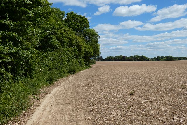
Farmland, West Woodhay
A footpath follows the edge of the field and then crosses it.
 Map © Crown Copyright")
TIP: Click the map for more Large scale mapping
- Grid Square
- SU3763, 28 images (more nearby 🔍)
- Photographer
- Andrew Smith (more nearby)
- Date Taken
- Tuesday, 12 May, 2020 (more nearby)
- Submitted
- Monday, 16 November, 2020
- Subject Location
-
OSGB36:
 SU 378 631 [100m precision]
WGS84: 51:21.9910N 1:27.4361W - Camera Location
-
OSGB36: SU 377 632
- View Direction
- EAST (about 90 degrees)