2008
SW4528 : Farmland near Tredavoe
taken 16 years ago, near to Tredavoe, Cornwall, England
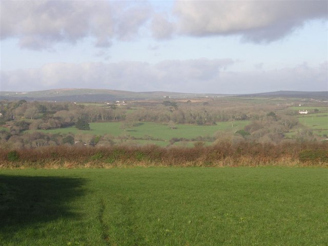
Farmland near Tredavoe
From the footpath between Newlyn and Tredavoe. The meadowland at trewidden and Trereife is visible; also (to the far left) Sancreed.
 Map © Crown Copyright")
TIP: Click the map for more Large scale mapping
- Grid Square
- SW4528, 23 images (more nearby 🔍)
- Photographer
- Frances Watts (more nearby)
- Date Taken
- Saturday, 26 January, 2008 (more nearby)
- Submitted
- Saturday, 26 January, 2008
- Subject Location
-
OSGB36:
 SW 456 286 [100m precision]
WGS84: 50:6.2107N 5:33.5337W - Camera Location
-
OSGB36: SW 457 285
- View Direction
- Northwest (about 315 degrees)