2020
SP1956 : Birmingham Road, Stratford-upon-Avon
taken 4 years ago, near to Stratford-Upon-Avon, Warwickshire, England
This is 1 of 3 images, with title Birmingham Road, Stratford-upon-Avon in this square
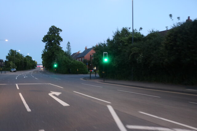
Birmingham Road, Stratford-upon-Avon
At the junction with St Peter's Way, a new road to a housing development.
 Map © Crown Copyright")
TIP: Click the map for more Large scale mapping
- Grid Square
- SP1956, 53 images (more nearby 🔍)
- Photographer
- David Howard (more nearby)
- Date Taken
- Saturday, 30 May, 2020 (more nearby)
- Submitted
- Thursday, 26 November, 2020
- Subject Location
-
OSGB36:
 SP 1925 5627 [10m precision]
WGS84: 52:12.2594N 1:43.1842W - Camera Location
-
OSGB36: SP 1923 5630
- View Direction
- South-southeast (about 157 degrees)