2020
TA2005 : Path leading to Irby-upon-Humber
taken 4 years ago, near to Irby Upon Humber, North East Lincolnshire, England
This is 1 of 2 images, with title Path leading to Irby-upon-Humber in this square
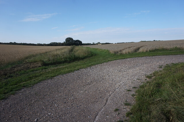
Path leading to Irby-upon-Humber
 Map © Crown Copyright")
TIP: Click the map for more Large scale mapping
- Grid Square
- TA2005, 30 images (more nearby 🔍)
- Photographer
- Ian S (more nearby)
- Date Taken
- Wednesday, 2 September, 2020 (more nearby)
- Submitted
- Thursday, 26 November, 2020
- Subject Location
-
OSGB36:
 TA 2005 0592 [10m precision]
WGS84: 53:32.1732N 0:11.4042W - Camera Location
-
OSGB36: TA 2007 0595
- View Direction
- Southwest (about 225 degrees)