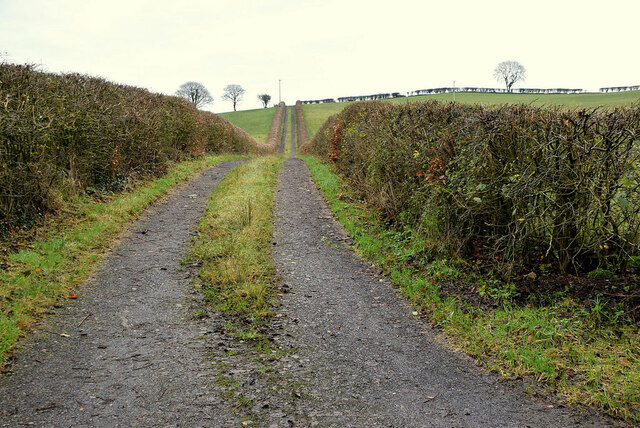
H4073 : Lane to Carn Hill, Gillygooly
taken 3 years ago, 4 km SSW of Mountjoy, Co Tyrone, Northern Ireland
![Creative Commons Licence [Some Rights Reserved]](https://s1.geograph.org.uk/img/somerights20.gif)
|
· Find out How to reuse this image ·
Share:
|
|||||
|
There is 1 post in a
discussion on H4073 (preview on the left) |
Suggest an update to this image | Contact the contributor | |||
Loading map... (JavaScript required)
- Grid Square
- H4073, 142 images (more nearby
 )
)
- Photographer
- Kenneth Allen (find more nearby)
- Date Taken
- Saturday, 28 November, 2020 (more nearby)
- Submitted
- Saturday, 28 November, 2020
- Geographical Context
- Subject Location
-
Irish:
 H 409 736 [100m precision]
WGS84: 54:36.5378N 7:21.9836W - Camera Location
-
Irish: H 409 736
- View Direction
- East-southeast (about 112 degrees)
Other Tags
This page has been viewed about 11 times.
View this location:
KML (Google Earth) ·
Google Maps ·
Bing Maps ·
Geograph Coverage Map ·
More Links for this image
·
Bing Maps ·
Geograph Coverage Map ·
More Links for this image