2008
NY4943 : Blaze Fell from the west
taken 16 years ago, near to High Hesket, Cumbria, England
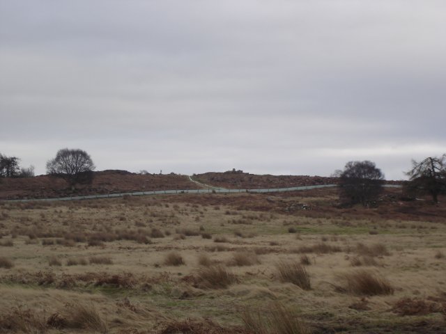
Blaze Fell from the west
The most recent OS map shows this area as Access Land, which it is, reachable via a gate at NY487441. Unfortunately the 'summit' (if 242 m can qualify as a peak!) area is fenced off with barbed wire as its immediate surroundings have the appearance of being currently quarried - not "Quarries (dis)" as the map would suggest. Saw several deer roaming wild near the summit. On a clear day this location affords excellent views across to both the Lakes and the Pennines.
 Map © Crown Copyright")
TIP: Click the map for more Large scale mapping
- Grid Square
- NY4943, 21 images (more nearby 🔍)
- Photographer
- Stuart St John (more nearby)
- Date Taken
- Sunday, 27 January, 2008 (more nearby)
- Submitted
- Sunday, 27 January, 2008
- Subject Location
-
OSGB36:
 NY 496 433 [100m precision]
WGS84: 54:46.9346N 2:47.0721W - Camera Location
-
OSGB36: NY 493 433
- View Direction
- EAST (about 90 degrees)