2020
SU6779 : Path to the Reading Road
taken 3 years ago, near to Cane End, Oxfordshire, England
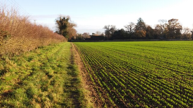
Path to the Reading Road
From Whitewood Heath the path to the Reading Road
 Map © Crown Copyright")
TIP: Click the map for more Large scale mapping
- Grid Square
- SU6779, 31 images (more nearby 🔍)
- Photographer
- Shaun Ferguson (more nearby)
- Date Taken
- Thursday, 26 November, 2020 (more nearby)
- Submitted
- Thursday, 3 December, 2020
- Subject Location
-
OSGB36:
 SU 6770 7977 [10m precision]
WGS84: 51:30.7685N 1:1.5487W - Camera Location
-
OSGB36: SU 6761 7983
- View Direction
- Southeast (about 135 degrees)