J3475 : Test boring, Belfast
taken 3 years ago, near to Belfast, Co Antrim, Northern Ireland
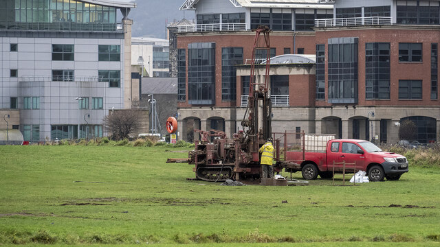
Test boring, Belfast
Test boring at this site J3575 : The Plater's Yard site, Titanic Quarter, Belfast - February 2019(1) in Belfast.
![Creative Commons Licence [Some Rights Reserved]](https://s1.geograph.org.uk/img/somerights20.gif)
|
· Find out How to reuse this image ·
Share:
|
|||||
| Start a discussion on J3475 | Suggest an update to this image | Contact the contributor | |||
Loading map... (JavaScript required)
- Grid Square
- J3475, 773 images (more nearby
 )
)
- Photographer
- Rossographer (find more nearby)
- Date Taken
- Friday, 11 December, 2020 (more nearby)
- Submitted
- Monday, 14 December, 2020
- Geographical Context
- Place (from Tags)
- Primary Subject of Photo
- Subject Location
-
Irish:
 J 349 752 [100m precision]
WGS84: 54:36.4578N 5:54.7793W - Camera Location
-
Irish: J 350 753
- View Direction
- West-southwest (about 247 degrees)
Other Tags
Image Type (about):
cross grid
This page has been viewed about 34 times.
View this location:
KML (Google Earth) ·
Google Maps ·
Bing Maps ·
Geograph Coverage Map ·
More Links for this image
·
Bing Maps ·
Geograph Coverage Map ·
More Links for this image