2020
TR2139 : Juniper Way
taken 4 years ago, near to Hawkinge, Kent, England
This is 1 of 9 images, with title Juniper Way in this square
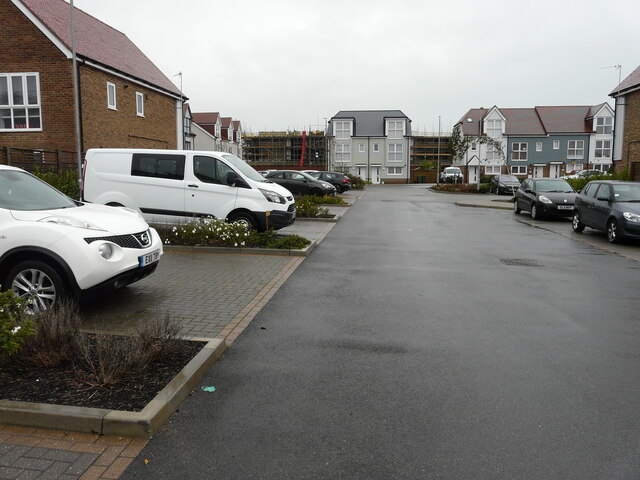
Juniper Way
One of the roads on an estate called Terlingham Forum.
 Map © Crown Copyright")
TIP: Click the map for more Large scale mapping
- Grid Square
- TR2139, 123 images (more nearby 🔍)
- Photographer
- John Baker (more nearby)
- Date Taken
- Tuesday, 13 October, 2020 (more nearby)
- Submitted
- Thursday, 17 December, 2020
- Subject Location
-
OSGB36:
 TR 2143 3934 [10m precision]
WGS84: 51:6.6335N 1:9.7219E - Camera Location
-
OSGB36: TR 2142 3938
- View Direction
- South-southeast (about 157 degrees)