2020
SO5778 : Maize field
taken 4 years ago, near to Bitterley, Shropshire, England
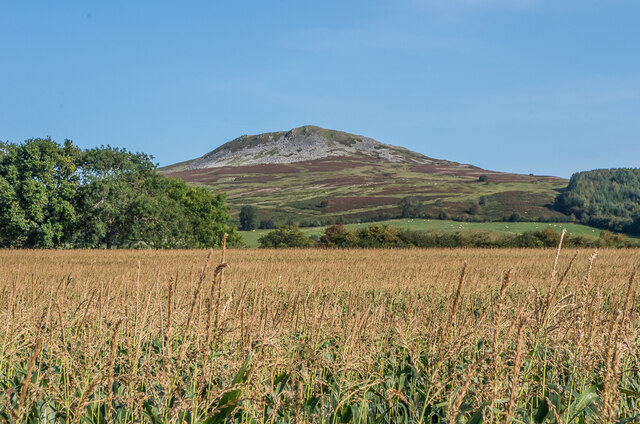
Maize field
Looking over a field of maize off Clee Stanton Road, with Titterstone Clee Hill in the background.
 Map © Crown Copyright")
TIP: Click the map for more Large scale mapping
- Grid Square
- SO5778, 6 images (more nearby 🔍)
- Photographer
- Ian Capper (more nearby)
- Date Taken
- Saturday, 19 September, 2020 (more nearby)
- Submitted
- Sunday, 20 December, 2020
- Subject Location
-
OSGB36:
 SO 571 786 [100m precision]
WGS84: 52:24.2269N 2:37.9052W - Camera Location
-
OSGB36: SO 570 786
- View Direction
- East-southeast (about 112 degrees)