2020
SD5187 : Lancaster Canal, Larkrigg Spring
taken 3 years ago, near to Sedgwick, Cumbria, England
This is 1 of 2 images, with title Lancaster Canal, Larkrigg Spring in this square
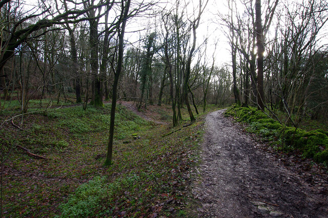
Lancaster Canal, Larkrigg Spring
The old towpath of the de-watered canal is a public footpath.
 Map © Crown Copyright")
TIP: Click the map for more Large scale mapping
- Grid Square
- SD5187, 44 images (more nearby 🔍)
- Photographer
- Ian Taylor (more nearby)
- Date Taken
- Thursday, 17 December, 2020 (more nearby)
- Submitted
- Monday, 21 December, 2020
- Subject Location
-
OSGB36:
 SD 514 879 [100m precision]
WGS84: 54:17.0919N 2:44.8165W - Camera Location
-
OSGB36: SD 514 879
- View Direction
- SOUTH (about 180 degrees)