2020
NJ2608 : Ordnance Survey Cut Mark with Rivet
taken 4 years ago, near to Corgarff, Aberdeenshire, Scotland
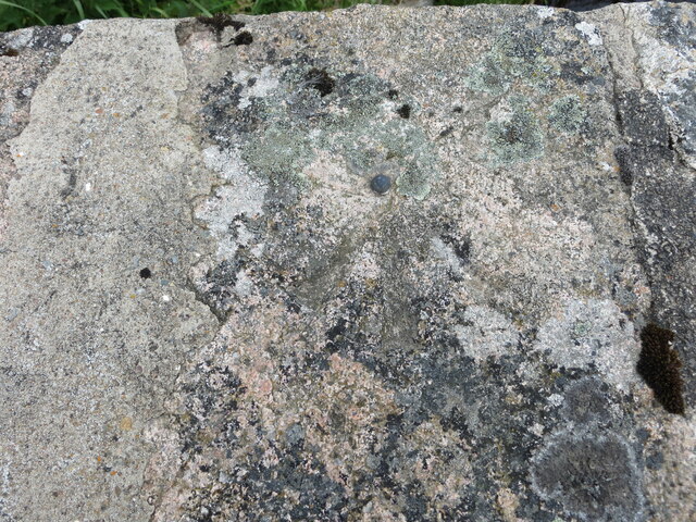
Ordnance Survey Cut Mark with Rivet
This can be found on the parapet of the A939 Bridge spanning Allt na Ciste.
The benchmark height has a recorded height of 403.271 metres above sea level.
For more detail see : Link
The benchmark height has a recorded height of 403.271 metres above sea level.
For more detail see : Link
 Map © Crown Copyright")
TIP: Click the map for more Large scale mapping
- Grid Square
- NJ2608, 59 images (more nearby 🔍)
- Photographer
- Peter Wood (more nearby)
- Date Taken
- Sunday, 5 July, 2020 (more nearby)
- Submitted
- Monday, 21 December, 2020
- Subject Location
-
OSGB36:
 NJ 26967 08805 [1m precision]
WGS84: 57:9.8557N 3:12.5516W