2020
NJ3315 : Ordnance Survey Cut Mark
taken 4 years ago, 3 km from Badenyon, Aberdeenshire, Scotland
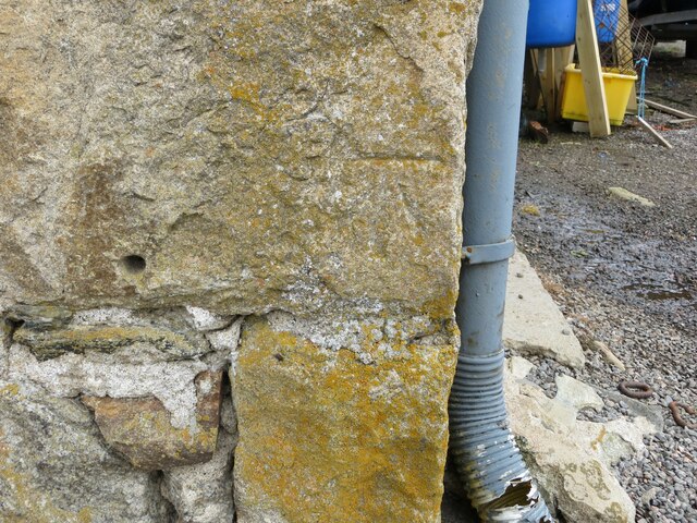
Ordnance Survey Cut Mark
This mark can be found on the wall of a building at Torrancroy Farm.
The benchmark has a recorded height of 348.005 metres above sea level.
For more detail see : Link
The benchmark has a recorded height of 348.005 metres above sea level.
For more detail see : Link
 Map © Crown Copyright")
TIP: Click the map for more Large scale mapping
- Grid Square
- NJ3315, 9 images (more nearby 🔍)
- Photographer
- Peter Wood (more nearby)
- Date Taken
- Tuesday, 7 July, 2020 (more nearby)
- Submitted
- Tuesday, 22 December, 2020
- Subject Location
-
OSGB36:
 NJ 33627 15898 [1m precision]
WGS84: 57:13.7387N 3:6.0596W