1999
SK1462 : The Tissington Trail approaching the cutting
taken 25 years ago, near to Heathcote, Derbyshire, England
This is 1 of 2 images, with title starting with The Tissington in this square
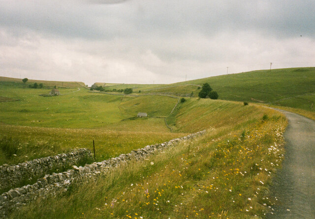
The Tissington Trail approaching the cutting
 Map © Crown Copyright")
TIP: Click the map for more Large scale mapping
- Grid Square
- SK1462, 76 images (more nearby 🔍)
- Photographer
- Humphrey Bolton (more nearby)
- Date Taken
- Wednesday, 7 July, 1999 (more nearby)
- Submitted
- Tuesday, 22 December, 2020
- Subject Location
-
OSGB36:
 SK 1465 6251 [10m precision]
WGS84: 53:9.5711N 1:46.9414W - Camera Location
-
OSGB36: SK 1449 6223
- View Direction
- North-northeast (about 22 degrees)