2020
NS4078 : Path to Beechwood Drive
taken 3 years ago, near to Bonhill, West Dunbartonshire, Scotland
This is 1 of 2 images, with title Path to Beechwood Drive in this square
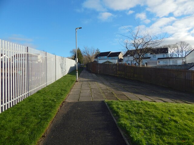
Path to Beechwood Drive
The construction site described in the end-note is behind the fence. The path is the one shown in NS4078 : Path to Beechwood Drive, but viewed in the opposite direction (Beechwood Drive is at both ends).
Bonhill High Dykes Development
"49 new homes for affordable rent, with a mixture of flats, terraced and semi-detached houses" (according to on-site notices), built on the former site of Highdykes Primary School.
 Map © Crown Copyright")
TIP: Click the map for more Large scale mapping
- Grid Square
- NS4078, 82 images (more nearby 🔍)
- Photographer
- Lairich Rig (more nearby)
- Date Taken
- Thursday, 24 December, 2020 (more nearby)
- Submitted
- Saturday, 2 January, 2021
- Subject Location
-
OSGB36:
 NS 4057 7875 [10m precision]
WGS84: 55:58.5110N 4:33.3881W - Camera Location
-
OSGB36: NS 4054 7875
- View Direction
- EAST (about 90 degrees)