2021
SH7780 : Frozen floodwater
taken 3 years ago, near to Deganwy, Conwy, Wales
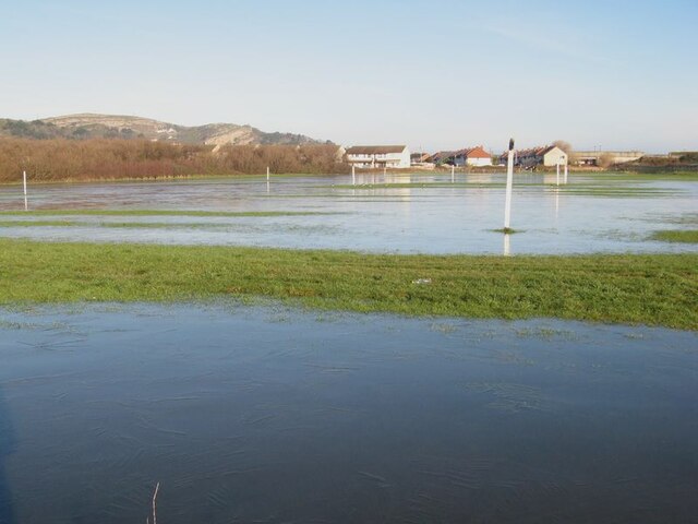
Frozen floodwater
Ice covers floodwater on low-lying ground by Maesdu. Much of the area we call Llandudno today was originally a low-lying salt-marsh, and this area is drained by pumping today since there is no route to the sea at this level. Houses in Bridge Road can be seen in the background.
 Map © Crown Copyright")
TIP: Click the map for more Large scale mapping
- Grid Square
- SH7780, 105 images (more nearby 🔍)
- Photographer
- Jonathan Wilkins (more nearby)
- Date Taken
- Saturday, 9 January, 2021 (more nearby)
- Submitted
- Saturday, 9 January, 2021
- Subject Location
-
OSGB36:
 SH 7773 8091 [10m precision]
WGS84: 53:18.6581N 3:50.1980W - Camera Location
-
OSGB36: SH 7771 8080
- View Direction
- NORTH (about 0 degrees)