2015
HY3912 : Rennibister Souterrain
taken 9 years ago, near to Grimbister, Mainland, Orkney Islands, Scotland
This is 1 of 3 images, with title Rennibister Souterrain in this square
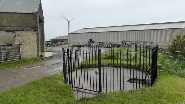
Rennibister Souterrain
This trap door in the middle of a farmyard leads down into the souterrain. Link
 Map © Crown Copyright")
TIP: Click the map for more Large scale mapping
- Grid Square
- HY3912, 15 images (more nearby 🔍)
- Photographer
- Sandy Gerrard (more nearby)
- Date Taken
- Tuesday, 2 June, 2015 (more nearby)
- Submitted
- Tuesday, 19 January, 2021
- Subject Location
-
OSGB36:
 HY 3972 1259 [10m precision]
WGS84: 58:59.7693N 3:3.0500W - Camera Location
-
OSGB36: HY 3972 1258
- View Direction
- Northeast (about 45 degrees)