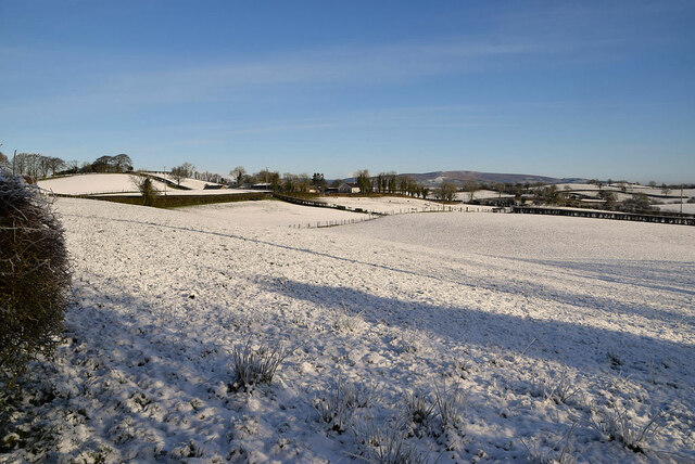
H4269 : Snow covered fields, Fireagh
taken 3 years ago, 4 km SW of Omagh, Co Tyrone, Northern Ireland
![Creative Commons Licence [Some Rights Reserved]](https://s1.geograph.org.uk/img/somerights20.gif)
|
· Find out How to reuse this image ·
Share:
|
|||||
| Start a discussion on H4269 | Suggest an update to this image | Contact the contributor | |||
Loading map... (JavaScript required)
- Grid Square
- H4269, 493 images (more nearby
 )
)
- Photographer
- Kenneth Allen (find more nearby)
- Date Taken
- Monday, 25 January, 2021 (more nearby)
- Submitted
- Monday, 25 January, 2021
- Geographical Context
- Subject Location
-
Irish:
 H 427 698 [100m precision]
WGS84: 54:34.4917N 7:20.3546W - Camera Location
-
Irish: H 427 696
- View Direction
- NORTH (about 0 degrees)
Other Tags
This page has been viewed about 9 times.
View this location:
KML (Google Earth) ·
Google Maps ·
Bing Maps ·
Geograph Coverage Map ·
More Links for this image
·
Bing Maps ·
Geograph Coverage Map ·
More Links for this image