2021
NT1374 : A Huge Field near Carlowrie
taken 3 years ago, near to Kirkliston, Edinburgh, Scotland
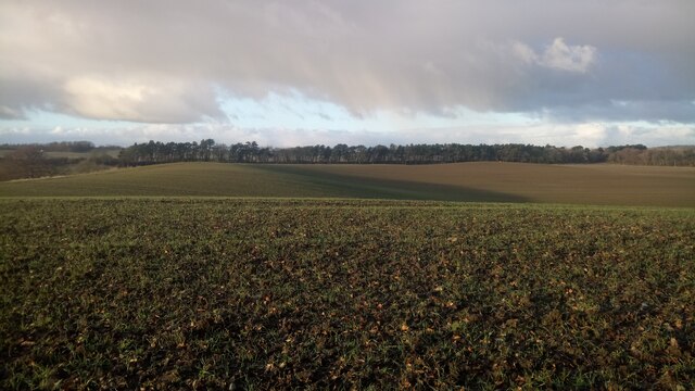
A Huge Field near Carlowrie
Looking at the map before this walk I assumed Carlowrie was a farm; it turns out it is a castle! Some fences or hedges shown on the current OS map are now gone. As the prolific contributor to this site, Richard Webb (I'm not sure I will ever get to a square he hasn't already visited!), often states, West Lothian's arable farmland is some of the most productive in the country. Therefore it stands to reason that the fields should be enlarged to take advantage of this. The farmer could go further though - the picture was taken from the top of a small hill within the field which is still uncultivated grassland.
 Map © Crown Copyright")
TIP: Click the map for more Large scale mapping
- Grid Square
- NT1374, 23 images (more nearby 🔍)
- Photographer
- Ian Dodds (more nearby)
- Date Taken
- Saturday, 30 January, 2021 (more nearby)
- Submitted
- Saturday, 30 January, 2021
- Subject Location
-
OSGB36:
 NT 138 746 [100m precision]
WGS84: 55:57.3995N 3:22.9299W - Camera Location
-
OSGB36: NT 138 746
- View Direction
- NORTH (about 0 degrees)