2021
SD7807 : Winding Hole near Water Street
taken 3 years ago, near to Radcliffe, Bury, England
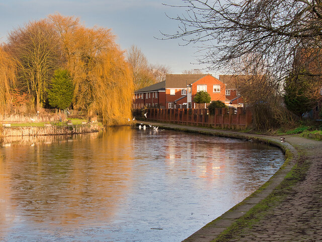
Winding Hole near Water Street
The Manchester Bolton & Bury Canal is a disused canal, built to link Bolton and Bury with Manchester. The canal, when fully completed in 1796, was 15 miles long. It was connected with the River Irwell in Salford, in 1808.
From Salford the canal ran up the Irwell valley to reach Nob End, where it climbed the Prestolee Locks, and then split into two branches leading to Bolton and Bury. The canal was built principally to serve the many collieries in the area, as well as to transport other cargo such as stone and timber.
By 1846 a parallel railway had been built to Bury, and the canal went into decline. The Bolton arm went out of use in 1924, though with some minor use until 1947. The Bury arm was breached just above Nob End in 1936, but the then isolated Bury arm continued to be used until 1951, principally between the canalside Ladyshore Colliery and Bury. The final section of the canal was officially closed in 1961, and much of it was filled in.
.
Link Exploring Greater Manchester, a fieldwork guide (web edition); edited by Paul Hindle, Manchester Geographical Society
Link Wikipedia article
Link Manchester Bolton & Bury Canal Society website
Link Manchester, Bolton and Bury Canal, Pennine Waterways
See other images of Manchester, Bolton & Bury Canal
From Salford the canal ran up the Irwell valley to reach Nob End, where it climbed the Prestolee Locks, and then split into two branches leading to Bolton and Bury. The canal was built principally to serve the many collieries in the area, as well as to transport other cargo such as stone and timber.
By 1846 a parallel railway had been built to Bury, and the canal went into decline. The Bolton arm went out of use in 1924, though with some minor use until 1947. The Bury arm was breached just above Nob End in 1936, but the then isolated Bury arm continued to be used until 1951, principally between the canalside Ladyshore Colliery and Bury. The final section of the canal was officially closed in 1961, and much of it was filled in.
.
Link
Link
Link
Link
See other images of Manchester, Bolton & Bury Canal
 Map © Crown Copyright")
TIP: Click the map for more Large scale mapping
- Grid Square
- SD7807, 934 images (more nearby 🔍)
- Photographer
- David Dixon (more nearby)
- Date Taken
- Monday, 1 February, 2021 (more nearby)
- Submitted
- Saturday, 6 February, 2021
- Subject Location
-
OSGB36:
 SD 783 075 [100m precision]
WGS84: 53:33.8359N 2:19.7276W - Camera Location
-
OSGB36: SD 782 075
- View Direction
- East-northeast (about 67 degrees)