2021
NG4731 : Moorland by the Allt Dubh
taken 3 years ago, 3 km from Crossal, Isle of Skye, Scotland
This is 1 of 2 images, with title Moorland by the Allt Dubh in this square
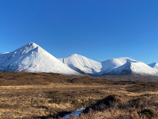
Moorland by the Allt Dubh
Looking to the Red Cuillin in white. Sgurr Mhairi (Glamaig) on the left, Beinn Dearg Mhòr centre and Beinn Dearg Mheadhonaich right.
 Map © Crown Copyright")
TIP: Click the map for more Large scale mapping
- Grid Square
- NG4731, 23 images (more nearby 🔍)
- Photographer
- John Allan (more nearby)
- Date Taken
- Friday, 12 February, 2021 (more nearby)
- Submitted
- Saturday, 13 February, 2021
- Subject Location
-
OSGB36:
 NG 479 315 [100m precision]
WGS84: 57:18.2986N 6:11.1881W - Camera Location
-
OSGB36: NG 478 316
- View Direction
- Southeast (about 135 degrees)