2020
TM1148 : Ploughed fields, Pound Lane
taken 4 years ago, near to Little Blakenham, Suffolk, England
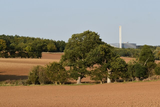
Ploughed fields, Pound Lane
Looking north-east from Pound Lane with the waste incinerator at Great Blakenham visible in the distance.
 Map © Crown Copyright")
TIP: Click the map for more Large scale mapping
- Grid Square
- TM1148, 17 images (more nearby 🔍)
- Photographer
- Simon Mortimer (more nearby)
- Date Taken
- Friday, 11 September, 2020 (more nearby)
- Submitted
- Sunday, 14 February, 2021
- Subject Location
-
OSGB36:
 TM 1133 4873 [10m precision]
WGS84: 52:5.7919N 1:5.0306E - Camera Location
-
OSGB36: TM 1123 4863
- View Direction
- Northeast (about 45 degrees)