2021
TL1634 : Pond near Holwell Bury Farmhouse
taken 3 years ago, near to Lower Stondon, Central Bedfordshire, England
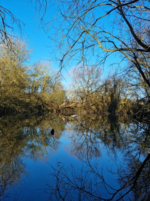
Pond near Holwell Bury Farmhouse
 Map © Crown Copyright")
TIP: Click the map for more Large scale mapping
- Grid Square
- TL1634, 12 images (more nearby 🔍)
- Photographer
- Paul Dixon (more nearby)
- Date Taken
- Saturday, 27 February, 2021 (more nearby)
- Submitted
- Saturday, 27 February, 2021
- Subject Location
-
OSGB36:
 TL 1604 3440 [10m precision]
WGS84: 51:59.7559N 0:18.6753W - Camera Location
-
OSGB36: TL 1607 3437
- View Direction
- Northwest (about 315 degrees)