2020
TQ4535 : Wheat field
taken 4 years ago, near to Upper Hartfield, East Sussex, England
This is 1 of 4 images, with title Wheat field in this square
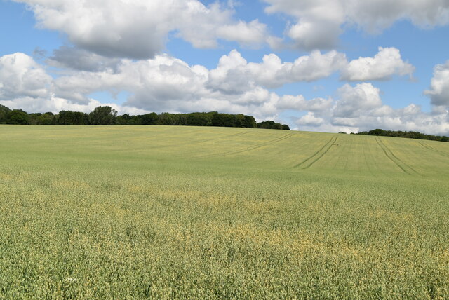
Wheat field
 Map © Crown Copyright")
TIP: Click the map for more Large scale mapping
- Grid Square
- TQ4535, 98 images (more nearby 🔍)
- Photographer
- N Chadwick (more nearby)
- Date Taken
- Friday, 10 July, 2020 (more nearby)
- Submitted
- Saturday, 27 February, 2021
- Subject Location
-
OSGB36:
 TQ 4504 3560 [10m precision]
WGS84: 51:6.0818N 0:4.2099E - Camera Location
-
OSGB36: TQ 4513 3555
- View Direction
- West-northwest (about 292 degrees)