2008
SU1213 : Disused railway bridge, Alderholt, Dorset
taken 15 years ago, near to Alderholt, Dorset, England
This is 1 of 2 images, with title Disused railway bridge, Alderholt, Dorset in this square
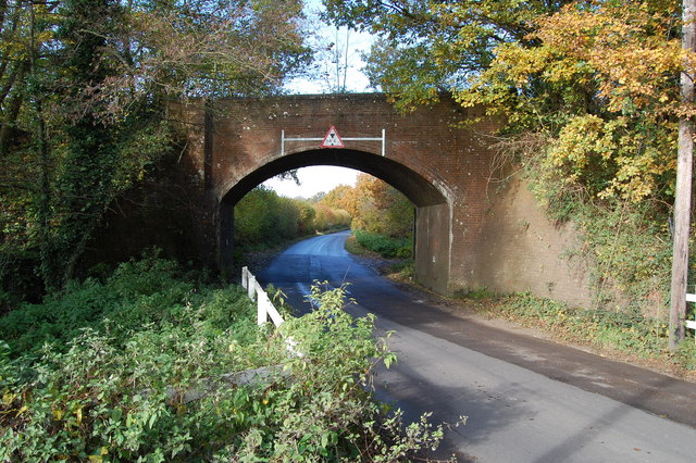
Disused railway bridge, Alderholt, Dorset
 Map © Crown Copyright")
TIP: Click the map for more Large scale mapping
- Grid Square
- SU1213, 55 images (more nearby 🔍)
- Photographer
- Clive Perrin (more nearby)
- Date Taken
- Friday, 7 November, 2008 (more nearby)
- Submitted
- Monday, 10 November, 2008
- Subject Location
-
OSGB36:
 SU 121 131 [100m precision]
WGS84: 50:55.0504N 1:49.7204W - Camera Location
-
OSGB36: SU 121 130
- View Direction
- Northwest (about 315 degrees)