2008
SU1112 : Pasture, Alderholt, Dorset
taken 15 years ago, near to Alderholt, Dorset, England
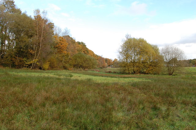
Pasture, Alderholt, Dorset
The ground here is very wet with rushes doing well. Poor grazing I assume. The treeline on the left marks the embankment of the disused railway.
 Map © Crown Copyright")
TIP: Click the map for more Large scale mapping
- Grid Square
- SU1112, 113 images (more nearby 🔍)
- Photographer
- Clive Perrin (more nearby)
- Date Taken
- Friday, 7 November, 2008 (more nearby)
- Submitted
- Monday, 10 November, 2008
- Subject Location
-
OSGB36:
 SU 119 129 [100m precision]
WGS84: 50:54.9373N 1:49.9086W - Camera Location
-
OSGB36: SU 118 128
- View Direction
- North-northeast (about 22 degrees)