2021
NZ3172 : Allotments, West View, Earsdon
taken 3 years ago, near to Earsdon, North Tyneside, England
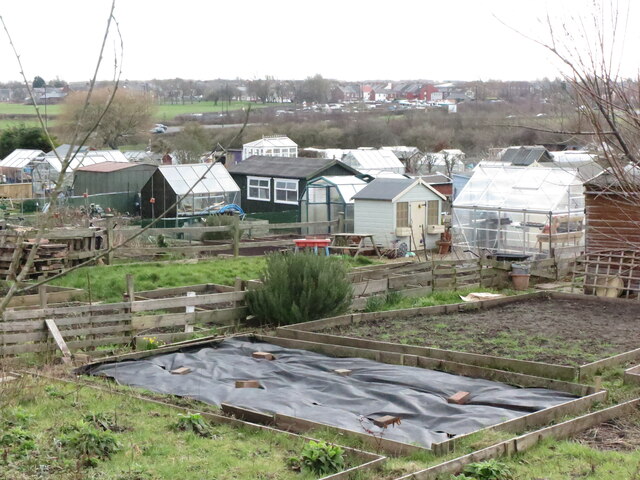
Allotments, West View, Earsdon
Whilst the history of allotments goes back many centuries, it was not until the Small Holdings and Allotments Act 1908 came into force that local authorities were legally obliged to provide "sufficient allotments according to demand". This duty was further extended with the passing of the Land Settlement Facilities Act 1919 with the rights of allotment holders being strengthened by the Allotments Act 1922. However, the most important change was introduced when the Allotments Act 1925 established statutory allotments which local authorities could not sell off or covert to other uses without Ministerial consent. The Allotments on Earsdon Road near Shiremoor Link can just be seen in the distance. For a selection of detailed free to download walking routes in the area visit Link
 Map © Crown Copyright")
TIP: Click the map for more Large scale mapping
- Grid Square
- NZ3172, 35 images (more nearby 🔍)
- Photographer
- Geoff Holland (more nearby)
- Date Taken
- Friday, 12 March, 2021 (more nearby)
- Submitted
- Saturday, 13 March, 2021
- Subject Location
-
OSGB36:
 NZ 3196 7231 [10m precision]
WGS84: 55:2.6564N 1:30.0826W - Camera Location
-
OSGB36: NZ 3198 7238
- View Direction
- South-southwest (about 202 degrees)