2020
NT2846 : Bowbeat wind farm from the air
taken 4 years ago, 4 km E of Eddleston, Scottish Borders, Scotland
This is 1 of 3 images, with title Bowbeat wind farm from the air in this square
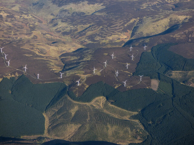
Bowbeat wind farm from the air
Lots to see in this view of the east side of the wind farm, including recent reforestation on Farehope Hill and grousemoor management scars on the surrounding hills.
 Map © Crown Copyright")
TIP: Click the map for more Large scale mapping
- Grid Square
- NT2846, 14 images (more nearby 🔍)
- Photographer
- Thomas Nugent (more nearby)
- Date Taken
- Friday, 7 February, 2020 (more nearby)
- Submitted
- Sunday, 21 March, 2021
- Subject Location
-
OSGB36:
 NT 28 46 [1000m precision]
WGS84: 55:42.3989N 3:8.3628W - View Direction
- North-northeast (about 22 degrees)