2021
TM2850 : Dredging at Melton Dock
taken 3 years ago, near to Melton, Suffolk, England
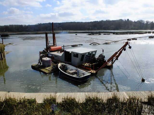
Dredging at Melton Dock
 Map © Crown Copyright")
TIP: Click the map for more Large scale mapping
- Grid Square
- TM2850, 284 images (more nearby 🔍)
- Photographer
- Chris Holifield (more nearby)
- Date Taken
- Monday, 22 March, 2021 (more nearby)
- Submitted
- Monday, 22 March, 2021
- Subject Location
-
OSGB36:
 TM 2831 5003 [10m precision]
WGS84: 52:6.0877N 1:19.9303E - Camera Location
-
OSGB36: TM 2831 5004
- View Direction
- Southeast (about 135 degrees)