2021
TR0760 : Holly Hill Farm, Dargate
taken 3 years ago, near to Dargate, Kent, England
This is 1 of 2 images, with title Holly Hill Farm, Dargate in this square
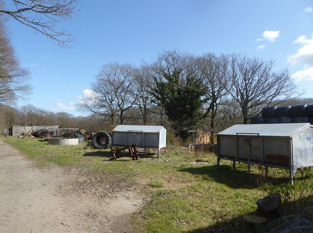
Holly Hill Farm, Dargate
On the track known as Red Road.
 Map © Crown Copyright")
TIP: Click the map for more Large scale mapping
- Grid Square
- TR0760, 27 images (more nearby 🔍)
- Photographer
- pam fray (more nearby)
- Date Taken
- Thursday, 25 March, 2021 (more nearby)
- Submitted
- Friday, 26 March, 2021
- Subject Location
-
OSGB36:
 TR 0784 6038 [10m precision]
WGS84: 51:18.2747N 0:58.8210E - Camera Location
-
OSGB36: TR 0783 6037
- View Direction
- EAST (about 90 degrees)