2021
NJ4361 : Core Burn
taken 3 years ago, near to Drybridge, Moray, Scotland
This is 1 of 2 images, with title Core Burn in this square
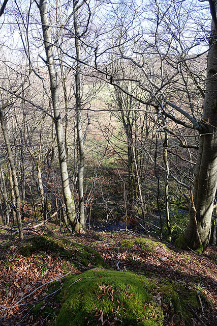
Core Burn
Looking down the steep slope from an unmapped track that follows the burn at higher level.
 Map © Crown Copyright")
TIP: Click the map for more Large scale mapping
- Grid Square
- NJ4361, 13 images (more nearby 🔍)
- Photographer
- Anne Burgess (more nearby)
- Date Taken
- Thursday, 1 April, 2021 (more nearby)
- Submitted
- Friday, 2 April, 2021
- Subject Location
-
OSGB36:
 NJ 4331 6179 [10m precision]
WGS84: 57:38.5473N 2:57.0766W - Camera Location
-
OSGB36: NJ 4330 6179
- View Direction
- EAST (about 90 degrees)