2021
NT2035 : Track from Hallmanor
taken 3 years ago, 3 km from Stobo, Scottish Borders, Scotland
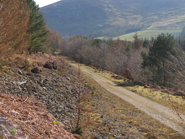
Track from Hallmanor
A track into Hallmanor Forest from the public road near Castlehill.
 Map © Crown Copyright")
TIP: Click the map for more Large scale mapping
- Grid Square
- NT2035, 29 images (more nearby 🔍)
- Photographer
- Jim Barton (more nearby)
- Date Taken
- Saturday, 3 April, 2021 (more nearby)
- Submitted
- Sunday, 4 April, 2021
- Subject Location
-
OSGB36:
 NT 2031 3507 [10m precision]
WGS84: 55:36.1616N 3:15.9815W - Camera Location
-
OSGB36: NT 2024 3506
- View Direction
- EAST (about 90 degrees)