2021
TL3552 : Towards Mare Way
taken 3 years ago, near to Great Eversden, Cambridgeshire, England
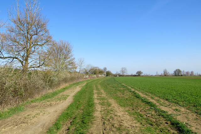
Towards Mare Way
This is the track from Wimpole to Great Eversden, photographed on a bright spring morning. The hedgerow on the skyline marks Mare Way, an ancient route which runs along the top of the 77m/250ft chalk ridge which separates Wimpole, Orwell and Barrington from the Eversdens, Harlton and Haslingfield to the north.
 Map © Crown Copyright")
TIP: Click the map for more Large scale mapping
- Grid Square
- TL3552, 37 images (more nearby 🔍)
- Photographer
- John Sutton (more nearby)
- Date Taken
- Sunday, 4 April, 2021 (more nearby)
- Submitted
- Sunday, 4 April, 2021
- Subject Location
-
OSGB36:
 TL 3524 5241 [10m precision]
WGS84: 52:9.2050N 0:1.4782W - Camera Location
-
OSGB36: TL 3521 5229
- View Direction
- North-northeast (about 22 degrees)