2021
SH5880 : Field Boundaries Near Llanddona
taken 3 years ago, near to Llanddona, Isle of Anglesey/Sir Ynys Mon, Wales
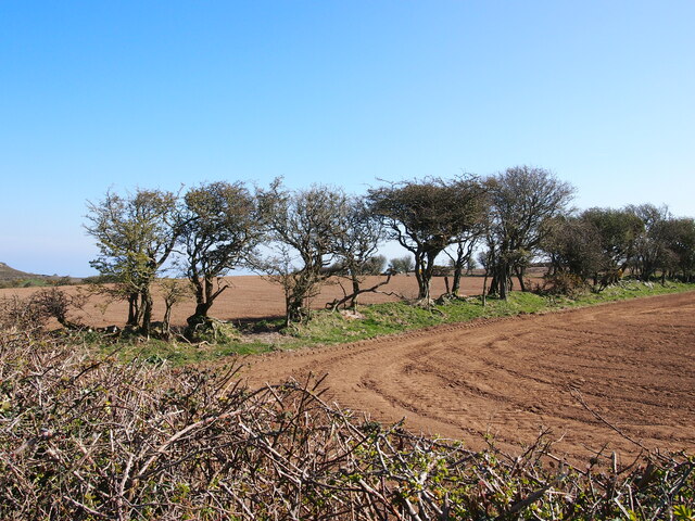
Field Boundaries Near Llanddona
 Map © Crown Copyright")
TIP: Click the map for more Large scale mapping
- Grid Square
- SH5880, 16 images (more nearby 🔍)
- Photographer
- Chris Andrews (more nearby)
- Date Taken
- Sunday, 4 April, 2021 (more nearby)
- Submitted
- Monday, 5 April, 2021
- Subject Location
-
OSGB36:
 SH 5817 8005 [10m precision]
WGS84: 53:17.9018N 4:7.7773W - Camera Location
-
OSGB36: SH 5815 8004
- View Direction
- East-northeast (about 67 degrees)