2020
SE3632 : Bridlepath after the rain
taken 3 years ago, 3 km from Pendas Fields, Leeds, England
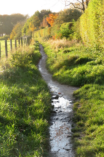
Bridlepath after the rain
This bridlepath borders the Colton estate, running down to join the path leading to the Menagerie ponds and Walled garden in Temple Newsam.
 Map © Crown Copyright")
TIP: Click the map for more Large scale mapping
- Grid Square
- SE3632, 153 images (more nearby 🔍)
- Photographer
- Oxana Maher (more nearby)
- Date Taken
- Saturday, 31 October, 2020 (more nearby)
- Submitted
- Monday, 5 April, 2021
- Subject Location
-
OSGB36:
 SE 3639 3276 [10m precision]
WGS84: 53:47.3934N 1:26.9472W - Camera Location
-
OSGB36: SE 3641 3276
- View Direction
- WEST (about 270 degrees)