2021
SO8994 : Chamberlain's Lane north-east of Wombourne in Staffordshire
taken 3 years ago, near to Wombourne, Staffordshire, England
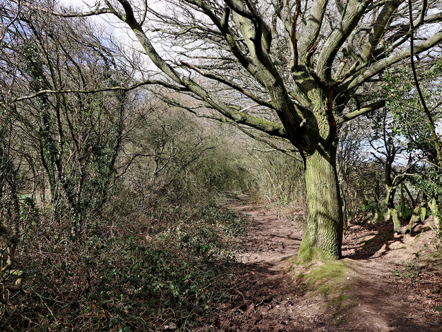
Chamberlain's Lane north-east of Wombourne in Staffordshire
Looking north-north-west towards Upper Penn.
This is the remaining southern end of Chamberlain's Lane. Strangely, the public footpath is along the edge of the adjacent field off to the right, and was marked as such even on late Victorian maps. There is no impedient to access, so I do not know whether a public right of way exists here through Light Wood (formerly Sunny Wood). The public route continues behind the camera at the edge of the golf course, to Penn Common Lane. Was there an unresolved dispute with the landowner affecting public access to the common from the north?
SO8994 : Staffordshire pasture and woodland near Penn, Wolverhampton
 Map © Crown Copyright")
TIP: Click the map for more Large scale mapping
- Grid Square
- SO8994, 344 images (more nearby 🔍)
- Photographer
- Roger D Kidd (more nearby)
- Date Taken
- Monday, 29 March, 2021 (more nearby)
- Submitted
- Tuesday, 6 April, 2021
- Subject Location
-
OSGB36:
 SO 8928 9453 [10m precision]
WGS84: 52:32.9106N 2:9.5712W - Camera Location
-
OSGB36: SO 8930 9449
- View Direction
- North-northwest (about 337 degrees)