2021
SP9517 : Bridleway to Church End
taken 3 years ago, near to Ivinghoe Aston, Buckinghamshire, England
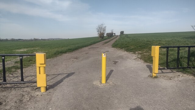
Bridleway to Church End
From Ivinghoe Aston the bridleway to Church End
 Map © Crown Copyright")
TIP: Click the map for more Large scale mapping
- Grid Square
- SP9517, 12 images (more nearby 🔍)
- Photographer
- Shaun Ferguson (more nearby)
- Date Taken
- Tuesday, 30 March, 2021 (more nearby)
- Submitted
- Wednesday, 7 April, 2021
- Subject Location
-
OSGB36:
 SP 9572 1795 [10m precision]
WGS84: 51:51.1168N 0:36.7012W - Camera Location
-
OSGB36: SP 9562 1787
- View Direction
- Northeast (about 45 degrees)